Enhance your reports and presentations with aerial footage
Get high quality drone imagery and geodata for your project today ➜
How are drones used in videography and animation?
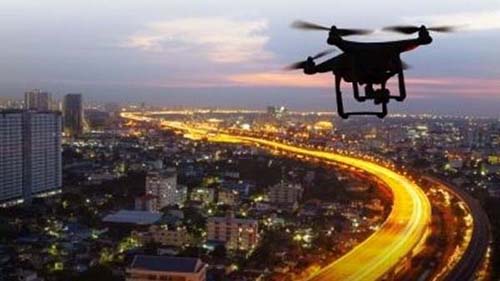
Commercial drones and other unmanned aerial vehicles (UAVs) have shaken up many modern industries because of its diverse capabilities. When it comes to videography, they are unmatched in capturing unique footage and imagery from a bird’s eye view – while getting valuable geospatial data at the same time.
In development related fields like construction and urban planning, UAVs are responsible for surveying all types of terrain much faster and at a lower cost than old methods. In other commercial industries, they are use to inspect buildings and structures either to monitor their progress made over time or to check safety and integrity.
Drone photography works best when the footage they collect are combined with geospatial data such as GPS coordinates, altitude, and volume measurements, or with an overlay of statistics and details about the site and project.
Professional videography with UAVs lets us integrate all these to create graphics with helpful information for stakeholders. Custom animation is then added in the data processing and video editing stage to feature the important sections in the final videos and photos. These become valuable tools to enhance reports and presentations by highlighting new updates while showing actual footage of the project.
Available Philippine Drone Network Services:
Below are examples of services we regularly provide to clients. Custom jobs are accepted if your project needs solutions that are not listed here. Inquire now to get a free quote for any service.
What are the benefits of UAVs in videos and imagery?
The invention of highly robust drones and data analysis software has completely transformed the way we get GIS data. UAVs are now a common method in construction, real estate, power generation, urban planning, and other industries that need up-to-date mapping information for many reasons.
Capture videos and photos from unique angles
Using drones save weeks of time when you need to collect data for large sites. Traditional methods require you to deploy multiple teams and constantly move heavy equipment which increases costs, while UAVs can cover a wide area and capture the same data for massively less time and money.
Collect deep geospatial data at the same time
Occupational health and safety risks in unknown terrain or industrial sites are completely eliminated by using drones. Drones can be sent to avoid endangering your surveyors if your project covers steep slopes, roads or highways, heavy machinery, and other high risk areas.
Easy to visualize data with custom graphics
Drone flights can be designed to make thousands of measurements in highly detailed increments, instead of measuring only individual points. These can be converted into point clouds, contour lines, orthomosaics, and many other map types for your project.
Cover large areas faster, cheaper, and safer
Drone software lets us present the results of each aerial land survey in a variety of ways. This data can be overlayed into photographs and stylized videos to increase the impact of your reports and proposals.
How much does drone videography cost?
Videography and animation costs depend on the area size of the project, the type of data required, and and the time frame on when you need everything to be delivered.
All drone services are highly flexible in duration, coverage, and data type and can be designed to meet any specific requirement. If you would like a detailed estimate of how much it would cost to map your project site, simply send us a message and we will send you a free quote.
How to start with videography and photography with the Philippine Drone Network:
Our drone services are all designed to be easy, comprehensive, and helpful. To start now with your own aerial survey, send us a message and tell us what you need.
Inquire
Execute
Analyze
Deliver
Samples of Our Work
The video below is a gallery of services provided by our network of drone operators for previous and current clients (might take a few seconds to load):
All association members of the Philippine Drone Network are registered operators and certified pilots of remotely piloted aircraft in compliance with drone regulations set by the CAAP.
Send a Message or Get a Free Quote ➜
If you have questions about our drone and survey services, or would like a quote for your project, simply fill in the following form.
All information is confidential and will not be shared outside of our partner drone operators without your consent.


