Turn your spatial data into actionable intelligence today
Tell us what data you need, and we’ll create GIS maps and visualisations for you ➜
What is the role of UAVs in geospatial information systems?
GIS, or geospatial information systems, are essential tools for a huge range of industries from construction and real estate to agriculture and city planning. It has very diverse capabilities, but it heavily relies on having robust, up-to-date, and accurate data.
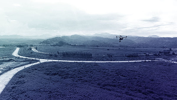
This is where drones and other unmanned aerial vehicles (UAVs) come in.
Data gathering for geospatial data has traditionally been burdensome – both in terms of time and money, but drones have completely transformed this process.
Aerial drones are flexible and can be equipped with different payloads depending on what needs to be measured. This makes them capable of conducting detailed topographic surveys to collect a wide variety of data that engineers and analysts can use to make good decisions. All this is done in a fraction of the time and with less manpower compared to traditional methods.
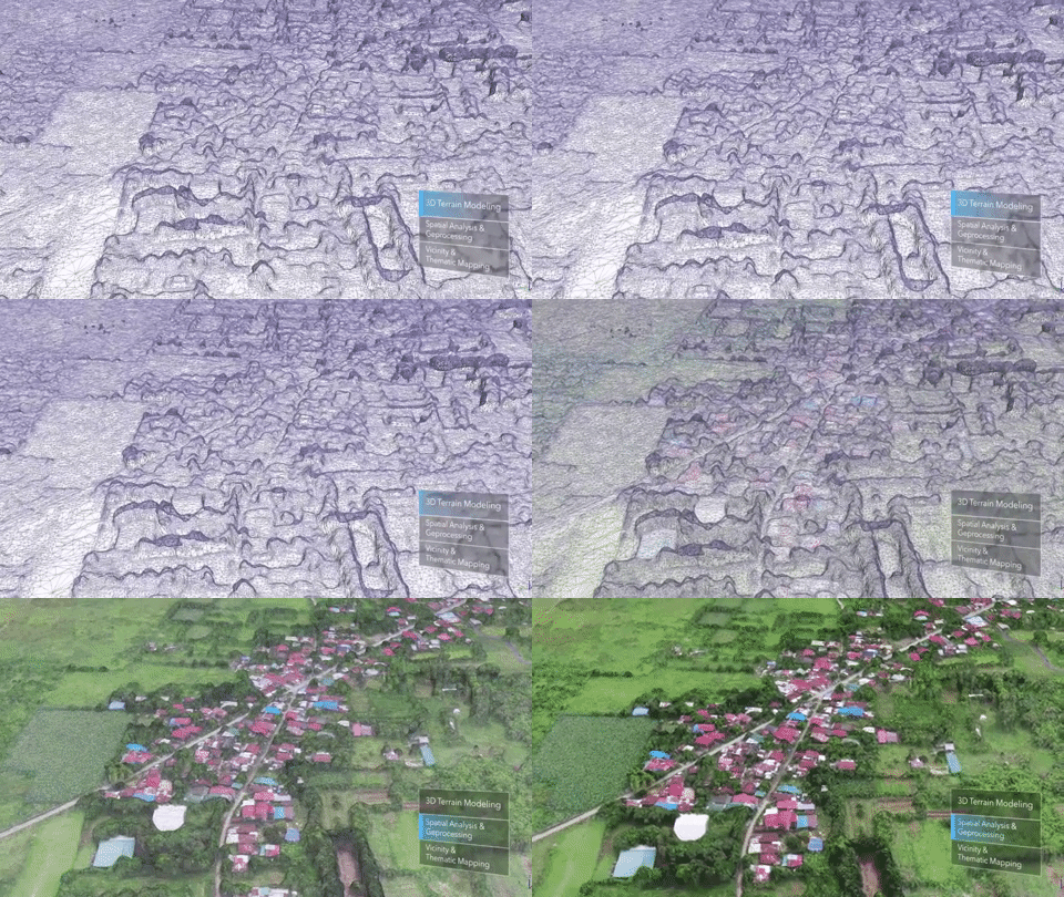
This is the main reason why drones have massively reduced overall costs for topographic mapping, 3D terrain models, contour lines, and other GIS products. With drones you can know get reliable data on-demand for less resources without bogging down your personnel on the ground.
Available Philippine Drone Network Services:
Below are examples of services we regularly provide to clients. Custom jobs are accepted if your project needs solutions that are not listed here. Inquire now to get a free quote for any service.
What are the benefits of drones in GIS surveys?
The combination of modern drones and GIS software has been revolutionary and is now a more cost-effective and reliable method to get essential geo data because of its many advantages:
Faster to get robust and flexible data that feed into GIS software
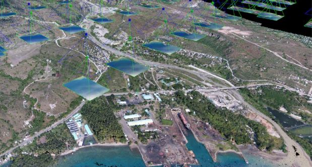
Drones can quickly cover a large area from multiple angles in a fraction of the time it takes for a team of surveyors to do it traditionally – without sacrificing accuracy or depth. They can also be equipped with different camera censors to get specific geospatial data types.
Less manpower needed to complete a geo survey
UAV surveys require a significantly smaller and more mobile team that can also be comprised of external specialists. This means your personnel and equipment can continue their normal operations and not be distracted by additional projects.
Safer and more reliable performance on all terrain types
Unlike old survey methods, drones are not limited or affected by challenging terrain. They can cover hard-to-reach slopes, active highways, and any other dangerous environment without putting staff at risk.
High flexibility in data output
Geospatial data collected by drones is easy to convert into practical and actionable knowledge. We can create various models from point clouds to contour lines depending on what your project needs.
How much do GIS drone services cost?
The price of aerial surveys and data analysis with UAVs depend on multiple factors including:
- Size of the area to be surveyed (square meters/kilometers)
- Complexity of maps and models required
- Time frame on when output needs to be delivered
All drone services are highly in duration, coverage, and data type and can be designed to meet any specific requirement. To get a detailed estimate of how much it would cost to map your project site, simply send us a message and we will send you a free quote.
How to start a GIS survey for geodata with the Philippine Drone Network:
Our drone services are all designed to be easy, comprehensive, and helpful. It only takes 4 steps from start to finish which includes a free consultation and quote with our pilots and engineers.
To start your own drone survey now, send us a message and tell us what you need.
Inquire
Execute
Analyze
Deliver
Our Work
All members of the Philippine Drone Network are registered operators and certified pilots of remotely piloted aircraft in compliance with drone regulations set by the CAAP.
Send a Message or Get a Free Quote ➜
If you have questions about our drone and survey services, or would like a quote for your project, simply fill in the following form.
All information is confidential and will not be shared outside of our partner drone operators without your consent.
